4 Mile Out-and-Back or 4.6-Mile Loop
In the last two installments of this ongoing series, we explored The Betsie Valley Trail from Elberta to the M-115 crossing near Benzonia. This time, I get to share one of my favorite places in the world: Otter Lake. If you’re starting from the Frankfort/Elberta area, there are three different routes that will get you to Trails End Road, all between 18 to 20 miles from town. Trails End Road is directly off M-22 and located about 5 miles south of Empire—the visit is well worth the drive!
With the baby in her stroller, we started at the Bass Lake Trailhead parking lot at the end of Trails End Road. We made it out and back on the Otter Creek East Loop for a total of four bumpy miles, which are by far the most rugged that we’ve attempted together. The trail starts as a narrow footpath with quite a few roots, rocks, and shallow hills. After about one-quarter mile, however, the trail widens and finally becomes a rocky but well-packed two-track all the way to Esch Road. (My daughter did manage to sleep for a little while, despite the bumps. I highly recommend an all-terrain stroller if you want to attempt one on this trail.)
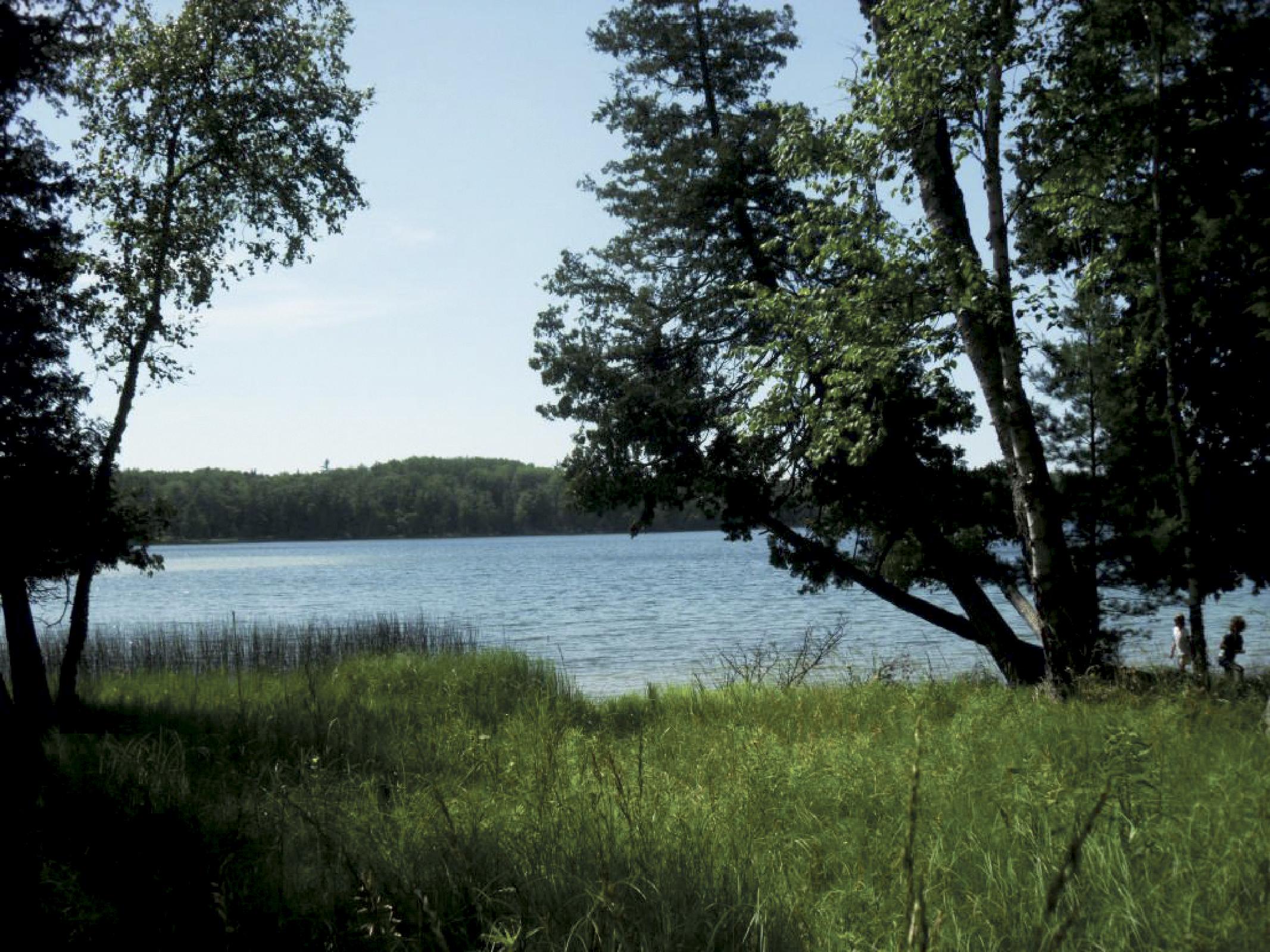
There are views of Otter Lake and Otter Creek at several points along the trail. It’s a great place for my husband and son to explore nature at a more leisurely pace while I’m running. At two miles, the trail crosses a bridge over Otter Creek; this is a great spot to rest, take a drink, and watch the fish dart below the bridge before you turn around to head back for a total of four miles.
When I’m running by myself, I actually prefer to continue on the 2.6-mile West Loop—which is a winding foot-path through two distinctly different types of forest—for a total distance of 4.6 miles A right turn back into the woods from the bridge, before you intersect with Esch Road, will get you back on the trail if you choose to continue the loop instead of the out-and-back run. And as far as a solo trail run goes, it’s a pretty easy course—in fact, if you’re looking for a longer run, there are several loops through the woods past Bass Lake that, all together, add up to 14.7 miles of trail. Another option might be to drop a runner off at the Bass Lake Trailhead, take the kids to the beach at the end of Esch Road, and meet up for a day of swimming and sand-castle building on the shores of Lake Michigan.
The Platte Plains Trails are a perfect place to spend the day with a picnic, canoe ride, some fishing, and some trail running or hiking. Pack up the family and give it a try!
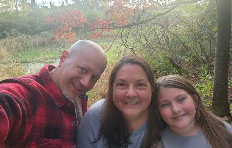
For our family, this set of trails holds special significance because my grandparents owned a cottage on Otter Lake. I spent every summer of my childhood playing in these woods and catching bass from our old, blue rowboat. My husband and I were married on a perfect day fourteen years ago on the shore of Otter Lake. The property is now part of the Sleeping Bear Dunes National Lakeshore, and I’m so thankful that I have the opportunity to come back to this place that I love and share it with my children.
Before you get to the park, make sure you get your park pass and display it in your car window. The standard entrance fee is $10 per vehicle or $5 per person 16 or over who is on foot. This will buy you a 7-day permit. An annual pass costs $20. Passes can now be purchased online through pay.gov, or head to one of the ranger stations—there’s the Philip A. Hart Visitor Center in Empire, Platte River Campground office, Pierce-Stocking Drive entrance station, the Dune Climb entrance station, or the D.H. Day Campground office.
If you see the loons on Otter Lake while you are out on the trails, say, “Hi,” and tell them Nicole sent you.
The Platte Plains Trails are located in Sleeping Bear Dunes National Lakeshore, very close to the Benzie-Leelanau county line. These trails are maintained by the National Park Service; their website at NPS.gov has great information on the trails, directions to each trail, trail maps, and descriptions of other activities available throughout the National Lakeshore. Another great website I found for directions, as well as information on the trails, is MichiganTrailMaps.com; you can go to the website, enter a trail, and even review it when you’re done!
Stay tuned for the next of this series, which will take you on the Arcadia Dunes Trails from St. Pierre Trailhead. Do you have a favorite Benzie County trail? Go to The Betsie Current on Facebook and share a picture of your favorite route.
Feature photo: Where the grickle grass grows on a former cottage site on Otter Lake. Photo courtesy of Tom Stone.


