

And the men behind it
By Andrew Bolander
Current Contributor
“A commodious harbor.” These words were entered in the notebook of the surveyor Alvin Burt in 1839 while he assessed what is presently Benzie County.
Another note of Burt’s was that the north shore of Betsie Lake (Betsie Bay) would be a “beautiful situation” for a settlement. It was an accurate assessment, because that is where beautiful Frankfort sits today. Yet, despite this glowing review of the location, it would take another 20 years before work began.
When the lands to fund the construction of the Soo Locks were released in 1855, it spurred the development of Frankfort Harbor—and those lands fueled economic activity through the beginning of the 20th century.
Negotiations for the creation of the St. Mary’s Falls Ship Canal—now commonly referred to as the “Soo Locks” in Sault Ste. Marie—began in 1837. Politics and numerous distractions delayed serious debate on the construction project. Significant events during the debate included General Lewis Cass’ presidential aspirations and the opinion of Henry Clay that the project was “a work beyond the remotest settlement in the United States, if not in the moon.”
Despite the obstacles, in 1853, President Franklin Pierce (D: 1853-1857) signed the bill releasing 750,000 acres to aid in the building of the canal.
The St. Mary’s Falls Ship Canal Company was organized on April 12th, 1853, by an act of New York’s state legislature. Erastus Corning was the company’s president, and Joseph Fairbanks was among its directors. The canal was certified as completed on May 21, 1855, and the lands were released to the St. Mary’s Falls Ship Canal Company on May 25, 1855.
To put things in perspective: 750,000 acres—almost 1,200 square miles—is approximately 1.2 percent of the total land area in the entire state of Michigan and an area greater than the landmass of Rhode Island.
George S. Frost was hired to select and sell all of the lands throughout the state of Michigan. In order to fill this position, Frost was very blessed.
A decade earlier, during the 1840s in Detroit, Frost had the good fortune to sit on a pew next to General Lewis Cass. They struck an unusual friendship, and Frost became Cass’ personal secretary in 1845. He next followed then-Senator Cass to Washington, D.C., and mixed in very lucrative circles. For instance, Frost’s work had him involved with the General Land Office—which was very helpful in 1852, as he secured the position of Land Commissioner for the St. Mary’s Falls Ship Canal Company.
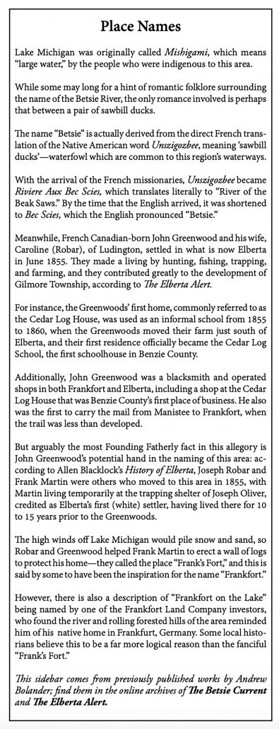
Frost created the Frankfort Land Company—named after our area in Northern Michigan (see sidebar)—which was an association of investors and landholders.
With a purpose of improving and growing the Frankfort area so that the timber lands on the Betsie River would become more enticing, the Land Co.—as the locals called it—directed the improvements and monitored the investments of Frost, along with several investors of the St. Mary’s Falls Ship Canal Company. One of the notable investors was Erastus Corning, who was a politician from New York, and most of his wealth had been made through investment in railroads, including the Michigan Central Railroad.
Erastus Fairbanks was another notable investor; he gained influence while living in St. Johnsbury, Vermont, when he and his brother created the Fairbanks Scale Company, which sold an accurate scale to measure dry weight.
The Land Co. improved the outlet of the Betsie River into Lake Michigan, in order to increase the value of the properties nearby. When the properties were not sold, the lumber was processed from the lands to capitalize on the investments.
In the fall of 1858, the Land Co. hired Alvinzi S. Dow to build a sawmill on the north shore of Betsie Bay. The mill would saw the logs harvested from the Land Co.’s properties and would provide the lumber for the improvement projects in Frankfort.
By the next summer, Louis A. and Henry G. Doaby were contracted by the Land Co. to improve the outlet of the Betsie River, with a goal of making the harbor more accessible to boats that would ship the lumber. They built the original piers on the natural river mouth, running through the area that is now Harbor Lights Resort and the public beach.
In addition to the piers, the Doabys built a boarding house for themselves and their workers. The building would be called the Doaby House and was a gathering place for early Frankfort. Louis Doaby was selected as the first “local agent” for the Frankfort Land Company.
There was a lull in the development of Frankfort during the Civil War, however.
Activity started again on November 9, 1864, when George Frost purchased the property located at 428 Leelanau Avenue, which became known as the Frankfort Land Company House. This became home for the local agents for the Land Co. who looked after the Land Co.’s interests and encouraged settlements and improvements.
Meanwhile, Jacob Voorheis moved in as local agent in 1866; he was followed by Eugene Frost, who was George Frost’s younger brother.
Many notable figures of early Frankfort were brought to the area by the Land Co.
For instance, A.G. Butler became local agent in 1868, and soon thereafter, Butler became the supervisor of the Land Co.’s mill.
After that mill burned, Butler built his own mill on the same site—that mill had the contract to cut all of the white pine from Erastus Corning’s land in the area, which was sizable.
Another local figure brought to the area by the Land Co. was Charles H. Crittenden, who came to Frankfort in 1867 and worked in the Land Co.’s sawmill.
Additionally, in 1868, Charles Collier came to Frankfort under the employ of the Land Co. to manage the lumberyard; he was also tasked with the removal of timber from within Frankfort and with removing the tree stumps from Leelanau Avenue.
Frankfort was designated a “harbor of refuge” in 1866, and the War Department wrote an assessment recommending harbor improvements at Frankfort, citing economic interests and navigational safety.
Hubbell and Whitwood—contractors from Saginaw—were awarded the contract to improve the harbor and started work in July 1867. This investment by the U.S. Government allowed for the work to be completed by the use of scows, pile drivers, and a dredge. The improvements utilized the south channel and were the beginnings of the channel and breakwater, which Frankfort still benefits from today. (Editor’s Note: See Jed Jaworski’s historical account in our online archives.)
One of the most notable people that was hired by the Land Co. was Lawrence W. Crane. He was employed by the Land Co. in 1868 to clear out the Betsie River, so that river drivers would have fewer obstacles on their way to Lake Betsie. Additionally, Crane served as the millwright at the Land Co.’s sawmill. He later became one of the most prominent businessmen in Benzie County, with three sawmills in Elberta, and he was among the investors of the Frankfort & South Eastern Railroad.
The Corning and Fairbanks families were officers with the St. Mary’s Falls Ship Canal Company, and they each purchased their own pieces of land in Michigan; Erastus Corning acquired 8,960 acres of land in Benzie County alone, which translates to about 4.4 percent of our county’s land area. After the departure of George Frost from the St. Mary’s Falls Canal Company, Corning and Fairbanks hired the firm Hall & Lincoln to manage their properties in Benzie County.
Although seemingly unrelated, the building of the Soo Canal actually inspired the investment and development of Benzie County. The influence stretched from the outlet of the Frankfort Harbor to Thompsonville and, moreover, connected Benzie County to the 20th century in 1892, when the Frankfort & South Eastern Railroad was integrated into the Ann Arbor Railroad—and thus, with the rest of the country and the World’s Fair in Chicago the next year, in 1893.
Andrew Bolander is a volunteer with the Benzie Area Historical Society and Museum. The museum is open Tuesdays through Saturdays from 11 a.m. to 4 p.m. See upcoming events at BenzieMuseum.org and the continually updating catalog at BenzieMuseum.CatalogAccess.com/home online.
Featured Photo Caption: Illustration from “An early History of the Grand Traverse Region” that fortunately has an inset showing the original lake outlet, in addition to the newly improved and bustling harbor.


